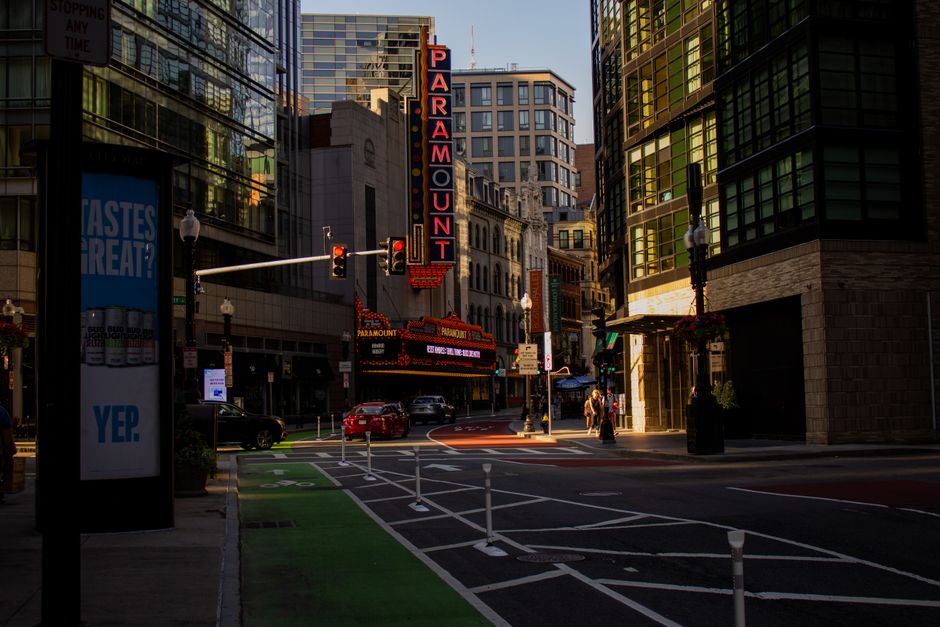
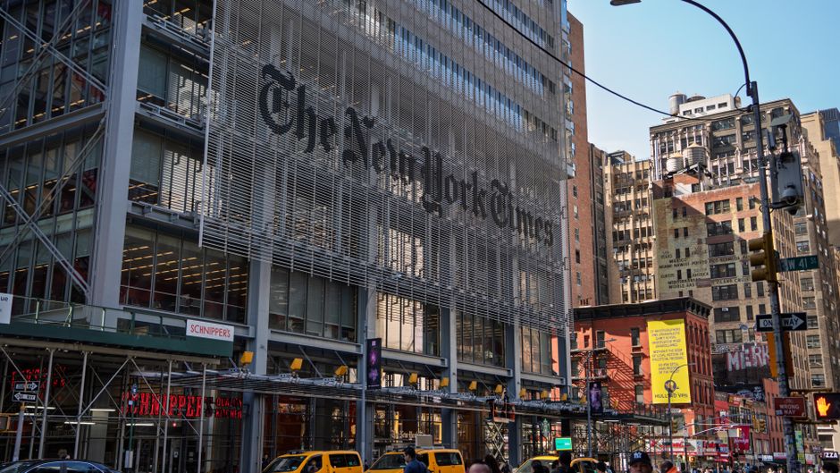
Residents across several Miami neighborhoods have grown increasingly vocal about a problem that sounds minor until you see the consequences: official city documents, redevelopment pitches, and Miami-Dade County planning reports repeatedly using wrong, recycled, or mismatched images to represent their communities. The issue, sometimes called duplicate image replacement, amounts to swapping out current, accurate photographs of a neighborhood with stock imagery or photos pulled from entirely different parts of the city, sometimes different cities altogether.
The complaints have intensified this summer, with several community groups formally raising the issue with the City of Miami Planning Department ahead of a scheduled August review of the Miami 21 zoning code. At stake, residents say, is more than aesthetics. When developers submit proposals using generic or inaccurate visuals, it can distort public perception of what a neighborhood actually looks like, and who lives there.
Wrong Pictures, Real Consequences on Calle Ocho and NW 2nd Avenue
On Southwest 8th Street, known as Calle Ocho, members of the Little Havana Merchants Association have identified at least three separate city-produced documents from the past 18 months that used images showing generic Latin-style streetscapes sourced from outside Florida. None of the photographs depicted the Tower Theater, Domino Park, or any other recognizable Calle Ocho landmark. Merchants say the substitutions appeared in economic development briefs circulated to prospective commercial investors.
The problem shows up in Overtown too. Along NW 2nd Avenue, the historic heart of Miami's Black cultural district, community advocates connected to the Overtown Community Oversight Board have flagged planning materials that used photographs of a different urban corridor, one that showed no connection to venues like the Lyric Theater, a National Register of Historic Places site that anchors the neighborhood's identity. Board members have argued that this kind of visual erasure feeds directly into displacement narratives, making it easier for outside investors to reframe a community's character before residents have a chance to respond.
The Wynwood Neighborhood Enhancement Team raised a related concern in late June, pointing to a county-level infrastructure summary that featured Wynwood Walls imagery in a section describing a street resurfacing project six blocks away, in an area without murals or arts installations. Small business owners in that zone said the mismatch led to confusion among contractors about the scope and character of the affected area.
What the Data Suggests, and What Residents Are Demanding
According to a 2025 survey conducted by the Miami-based nonprofit Engage Miami, 61 percent of respondents in lower-income ZIP codes said they rarely or never recognized their neighborhood in official city communications. The survey, which covered ZIP codes including 33127 (Wynwood and Little Haiti) and 33136 (Overtown), drew responses from more than 800 residents between January and March 2025.
Community members are now asking the Planning Department to adopt a mandatory photo verification protocol for any document that references a specific neighborhood by name. The proposal, circulated at a June 18 meeting hosted at the Athalie Range Park community room on NW 62nd Street in Liberty City, would require planners to confirm image provenance before any public-facing document is finalized. A similar internal standard was reportedly piloted by the City of Chicago's Department of Planning and Development in 2024, though Miami officials have not yet committed to a comparable program.
The Planning Department did not respond to a request for comment by publication time. The Miami 21 code review is scheduled to include a public comment session on August 11 at Miami City Hall, 3500 Pan American Drive in Coconut Grove. Residents from affected neighborhoods are encouraged to register to speak through the city's online portal before July 25, the stated deadline for public testimony requests. Community advocates say they plan to bring printed side-by-side comparisons of the mismatched images directly to that hearing.